Satellites
.
|
|
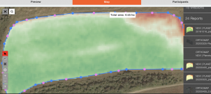
Monitoring of fields daily by delivering 3-meter resolution satellite imageries (including historical data). Analysis of the studied field with several vegetation indices (NDVI, LAI, EVI, NDWI, etc. based on four bands). Service is available worldwide. |
|
|
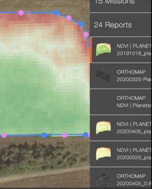
Historical analysis of the vegetation indices. Navigation through the history of vegetation indices, maps collected from drones, and even smartphones allow you to get a complete picture of your assets. |
|
|
Explore index histogram, dynamic recalculation of range. Manage by analytics details: 3, 5, 9, 256 colors. Dynamic calculation of the area of each differential zone. Export differential zones to KML and shapefile formats for variable rate applications. |


