Spraying Drones
.
|
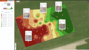
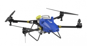
Remote sensing tools provide you warnings and data for further steps that lead to understanding and correction of a situation with crops. But to protect your yield, you need to act. . Spraying with pesticides is an often-unavoidable procedure to protects and save your yield. . Due to the increasing costs of labor and pesticides, manual-work spraying of pesticides leads to low operation efficiency, waste of water, and plant protection products. Additionally, the spraying effect is not ideal. Therefore, the use of agricultural unmanned aerial vehicles solves this series of problems. . The additional pro factor is the protection of the environment. Using spraying drones allows reducing 30% of pesticide using and 90% of water waste. . And next unbeatable factor is variable spraying, which becomes possible only after the analysis of remote sensing results. It means that you do not need to process the whole field, but only spots that require protection. . Platform allows simplifying the whole cycle of variable spraying significantly: getting field borders, surveying, data analysis, planning of differential spraying. Finally, you can build a VRA map in our system and generate tasks for variable spraying by drones directly from Platform. . In more details, our system allows: |
|
|
|
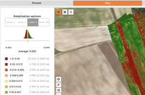
Use any type of maps (satellite and drone vegetation maps, segmentation, interpolation maps) and their combination to detect variability zones. |
|
|
Build Tasks for differential application of inputs from drones. Prescription map can be generated using any type of maps in the system or their combination in the form of KML or shapefiles |
.
Operations
.
|
Aerial scouting Cloud platform Agro, Enterprise Edition is a сloudbased system that implements all business processes for working with satellites and drones in a corporation, including the planning of operations, collection, and subsequent Big Data analysis.
|
|
|
|
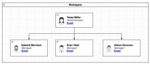
Multi-org structure. Entities, data, and users of the system are logically organized into workspaces. Users in the workspace are logically isolated from users and data in other workspaces. |
|
|
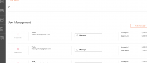
Access to each entity in the system can be limited to a specific list of users with individual rights. |
|
|
Simple hierarchy of entities and data in the system, which allows you to structure and analyze data easily and effectively. |
|
|
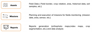
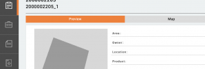
Assets allow to maintain a register of fields with their main properties: name, address, area, crop rotation, boundaries, etc. Field boundaries can be drawn either manually or imported from shape or KML. |
|
|
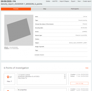
A Mission is a monitoring/inspection task.. The mission is linked to the Asset. For each Asset, you can create as many inspection Missions as you want.. The Mission contains information about the planned and actual date of the inspection, the pilot and the drone; mission status; data collected during the inspection.. The type of Mission can be Ground, Aerial, or Satellite. |
|
|
Reports contain primary data processing results and analytics, such as multispectral maps, maps of segmentation, plant density, etc. |
.
.
